 Swakopmund/Atlantic Coast
Places of interest of Namibia
Namibia offers accommodation in any price range and for all tastes: from rustic guest farms, backpackers lodges and B&Bs to luxurious game lodges and five star hotels. Namibia's accommodation is some of the most well-priced and well-kept in Southern Africa. You can be sure that no matter what price level is you will find clean and comfortable overnight stay in any area of Namibia. Many cattle farms were converted to stylish guest lodges in recent years.
Hotels are traditionally found in all towns around Namibia. Rest Camp offer more budget accommodation.
Camping sites can be found throughout Namibia, even in most remote parts of Kaokoland, Bushmenland and Caprivi. Wild camping is not allowed in Namibia.
Accommodation types in Namibia:
Camping: camps with camping spaces, with or without power points, usually with ablutions and running water. Some camps offer income opportunities for local communities.
Backpackers lodge/hostel: typically found in towns, budget establishment, often offering no meals and good basic services.
Bed and breakfast: cheaper, often family-run small establishment on towns.
Guest House: type of B&B small establishment in towns.
Hotel: middle to high price level establishment in towns.
Rest camp: cheaper than lodge establishment in national parks and reserves. Often offer includes camping sites.
Guest farm: previously cattle farm fully/partly converted to tourism establishment. Activities may include visits to working farm operations and game/nature drives.
Lodge/Ranch: middle to high price level establishment in rural areas/near or in national parks. Activities may include game/nature drives and visits to national parks.
Wildlife reserve: several farms combined to create larger area for free movement of game.
Our booking service is here to help you to make right choice: e-mail us and tell us where you wish to go, how many you are, places and sights you wish to see and we would be happy to suggest good accommodation options.
There are only NTB-registered establishments on our website that ensures highest level of hospitality. Most establishments are graded using a star system based on regular inspections carried out by the Hospitality Association of Namibia.
We have divided accommodation in Namibia.
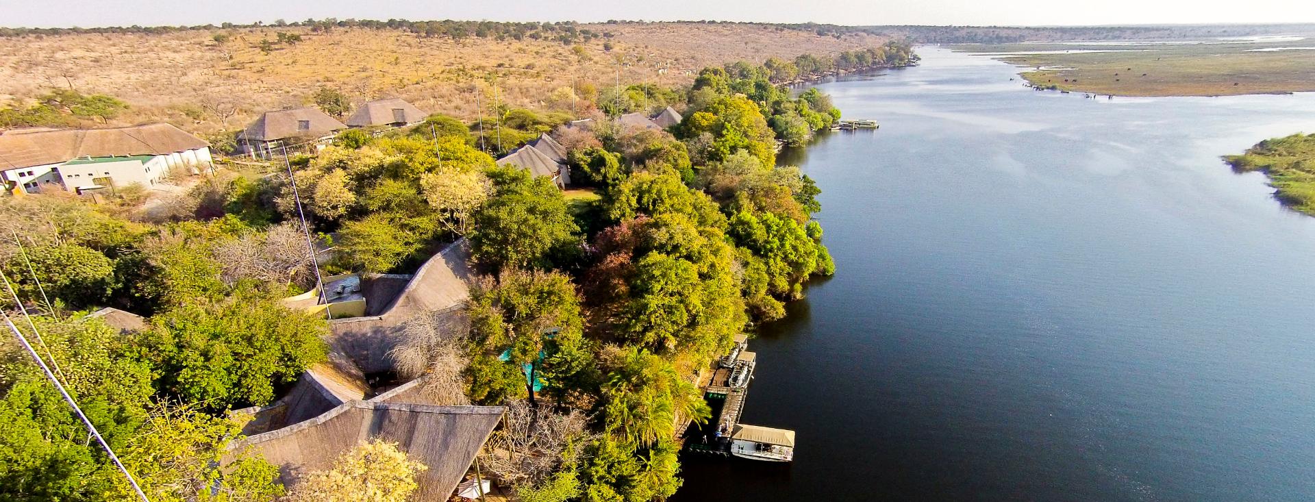
 Kavango/Caprivi/North-East
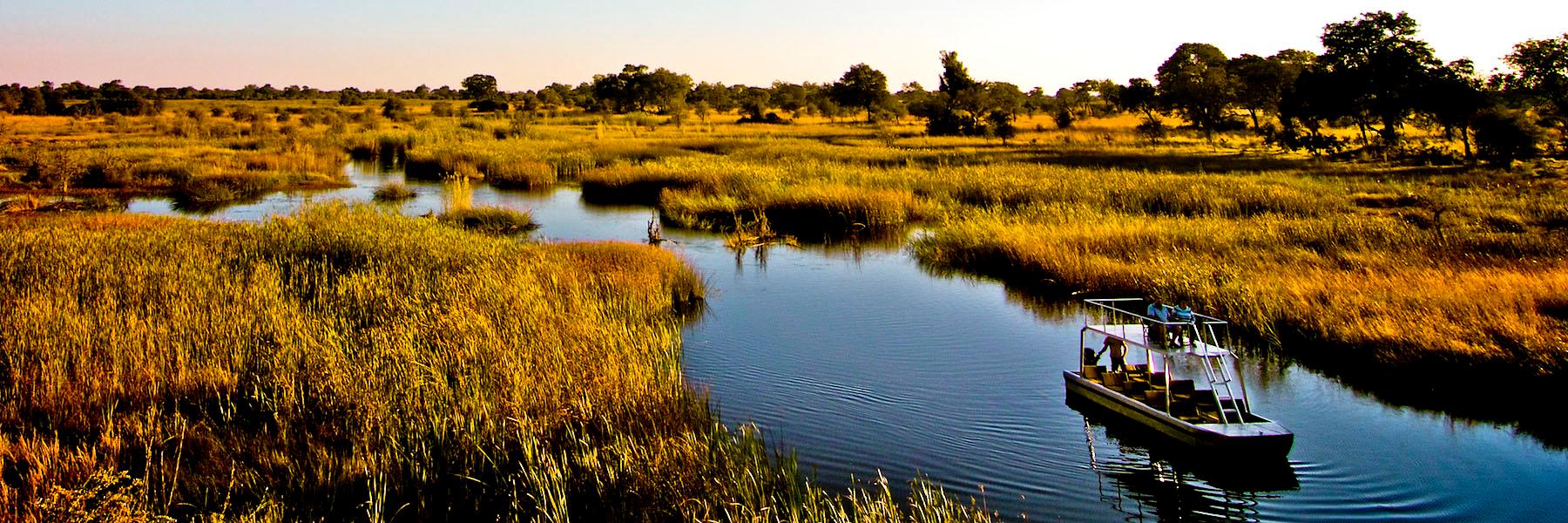
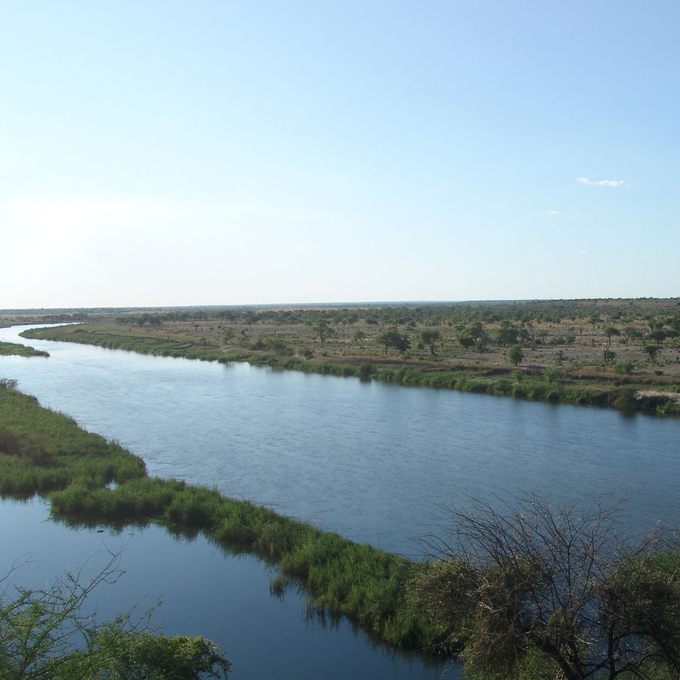
Caprivi, or Caprivi Strip, a narrow strip of land in north-eastern Namibia. It stretches for around 450 km fr om Rundu to Botswana and Zambia and is bordered by the Kwando, Okavango, Chobe and Zambezi rivers.
Caprivi was named after German Chancellor (1890–1894) Leo von Caprivi, who negotiated the acquisition of the land in an 1890 exchange with England. Von Caprivi arranged for Caprivi to be annexed to German South-West Africa in order to give Germany access to the Zambezi River and a route to east coast of Africa, wh ere the second German colony in Africa - Tanganyika was situated. Caprivi is rich in wildlife and has mineral resources. Of particular interest to the government of Namibia is that it gives access to the Zambezi River and thereby a potential trading route to Africa's East Coast. Within Namibia the Caprivi Strip provides significant habitat for the critically endangered Wild African Dog, Lycaon pictus. It is a corridor for African elephant moving from Botswana and Namibia into Angola, Zambia and Zimbabwe.
National parks
National parks located in the Caprivi Strip are Bwabwata National Park, Mudumu National Park and Nkasa Lupala National Park. Local communities have organised themselves into communal area conservancies and community forests and work with the Namibian Government to jointly manage natural resources through several programs set up between the Namibian Government and various donors.
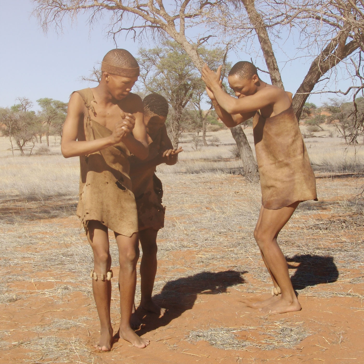 Kalahari
The name Kalahari is derived from the Tswana word Kgala, meaning "the great thirst", or Kgalagadi (also name of district in Botswana), meaning "a waterless place".
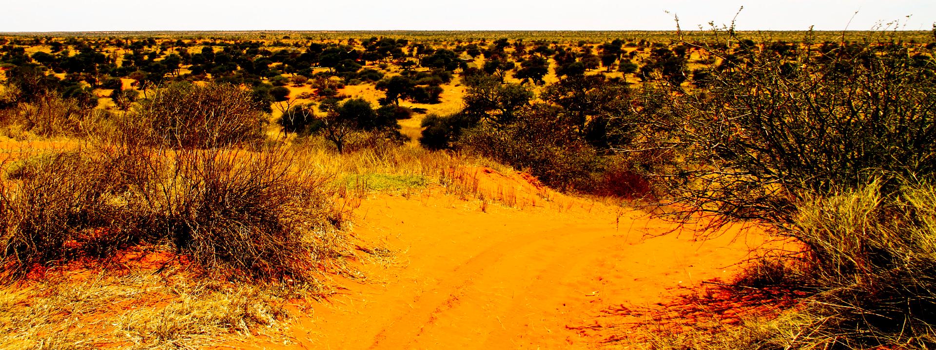
Kalahari Desert has vast areas covered by red sand without any permanent surface water. Drainage is by dry valleys, seasonally inundated pans, and the large salt pans of the Makgadikgadi Pan in Botswana and Etosha Pan in Namibia. The only permanent river, the Okavango, flows into a delta in the northwest, forming marshes that are rich in wildlife. Ancient dry riverbeds, "omuramba" traverse the central northern reaches of the Kalahari and provide standing pools of water during the rainy season.
The Kalahari Desert (in Afrikaans Kalahari-woestyn) is a large semi-arid sandy savannah in southern Africa extending 900,000 square kilometres (350,000 sq mi), covering much of Botswana and parts of Namibia and South Africa. A semi-desert, with huge tracts of excellent grazing after good rains, the Kalahari supports more animals and plants than a true desert, such as the Namib Desert to the west.
There are small amounts of rainfall and the summer temperatures are very high. The driest areas usually receive 110–200 millimetres (4.3–7.9 in) of rain per year, and the wettest just a little over 500 millimetres (20 in). The surrounding Kalahari Basin covers over 2,500,000 square kilometres (970,000 sq mi) extending farther into Botswana, Namibia and South Africa, and encroaching into parts of Angola, Zambia and Zimbabwe.
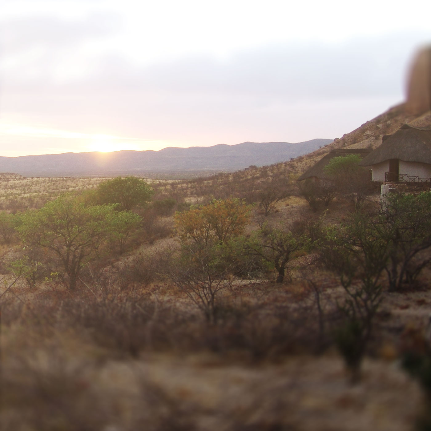 Kaokoland/Damaraland/North
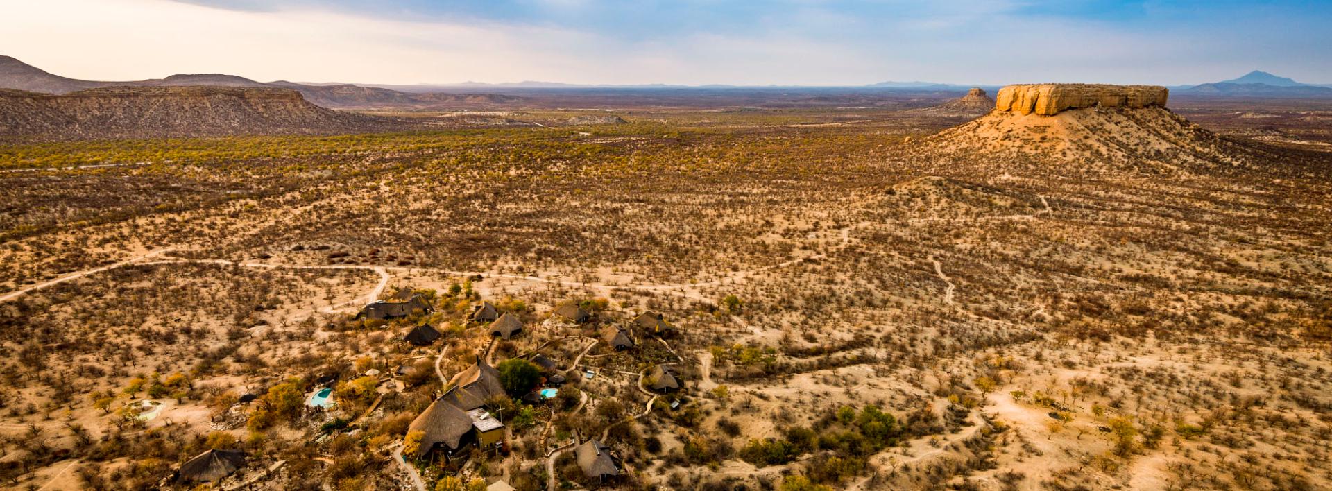
Damaraland
Damaraland area is located to the north of Swakopmund and to the south of Etosha National Park. The area was allocated to Damara people where the Government purchased several farms for resettlement of this ethnic group.
KHORIXAS. Formerly known as Welwitschia. The capital of Damaraland can be reached taking C39 fr om Outjo or C35 from Henties Bay. The name was taken from Khoekhoen name for a tree with edible berries.
TWYFELFONTEIN. This rock art site can be reached taking the following roads: C39 from Khorixas, turn left on the road 3254 and right on 3214. There are signs along the route. The name means ''Doubtful fountain'' as was given by local farmer who was in doubts that a spring which existed in the area can support cattle for a long enough time. Recommended time for a visit is early morning or late afternoon on account of high temperatures and the fact that engravings are not easy visible under direct sunlight. Twyfelfontein is the largest known concentration of Stone Age petroglyphs in our country. Although the area was declared a national monument in 1952 some engravings were damaged and even removed. There are approximately 2 500 engravings around Twyfelfontein. The age of engravings has not been determined precisely but there is evidence that area was occupied as early as 6 000 years ago.
ORGAN PIPES. Returning on the road 3254 site of Organ Pipes can be reached in about 3 kilometres on. This mass of perpendicular dolerite pillars are located down the river bed. Formed by the intrusion of volcanic rock dolerite about 120 million years ago.
BURNT MOUNTAIN. The Burnt Mountain is located another couple kilometres from the site of Organ Pipes and visible from the road. The Karoo limestones which formed the mountain were deposited around 200 million years ago. About 120 million years ago, the same period when Organ Pipes were formed, volcanic lava intruded limestones and caused metamorphism giving the mountain its distinctive colour.
PETRIFIED FOREST. The turn off to the site of Petrified Forest is signposted 42 kilometres from Khorixas on the road C39. Please note that a sign is in Afrikaans. The site was declared a national monument in 1950 but suffered the same damaging attacks of souvenir hunters. Now it is strictly prohibited to remove or damage even small pieces of petrified wood! The trees are about 250 million years old and were deposited in the area by the flood which came down from areas further north. The fact that trunks do not have any branches or roots suggest that these trees grew somewh ere else and were carried to its present location by rivers or floods. The trunks were deposited in silica rich environment and were excluded from contact with oxygen which prevented decay. During the course of time molecules of silica penetrated the wood and replaced wood molecules. At present around 50 trunks can be seen on the site with the longest being more that 30 meters long.
Damaraland was an area occupied primarily by the Damara people, but it soon became the home of other tribes such as the Hereros and the displaced Riemvasmakers of South Africa. Today, many residents of Damaraland are thus of mixed heritage, but most consider themselves Damara.
The Damara name is derived from the Nama word "Dama", meaning "who walked here". This is because the Damara were known to the Nama people by the footprints they left around waterholes. From their vantage point in the mountains, the Damara were quick to spot resources such as water or animals, on the plains below, and they were therefore able to be the first groups to reach these essential resources.
The Damaraland community comprises a unique group of people who have recognised the value of the wildlife on their land and formed a Community Wildlife Conservancy to protect it. Until 1981, Damaraland was unprotected and open to poachers, mostly from outside the area. Eventually, Namibian NGO's formed a game guard system with people from the community, and interest in the welfare of the wildlife increased. After halting the poaching activities, there were many ideas on how to conserve the area and its resources sustainably.
Кaokoland
Kaokoland comprises north-western part of the country and covers more than 70 000 sq. km. This arid and desolated area requires traveller to be fully self-sufficient regarding spare tyres, water and fuel and travel on some roads in 4x4 vehicle only. The name ''kaoko'' derived from ''okaoko'' in Herero which means ''small left arm'' was given to the area ''to the left'' of the Kunene River.
Kaokoland can be accessed from Hobatere or Palmwag. It borders Kunene River in the north, Ugab River in the south, the Namib desert, stretching along the coast in the west. Kaokoland is well known for its population of desert adapted elephants, black rhinos and occasionally groups of lions. In 1983 the system of local game rangers appointed by local headmen was introduced to protect game resources and reduce poaching. Within next couple of years more than 60 people were convicted of poaching and illegal hunting. The initiative was considered to be one of the most successful operations to curb poaching in the world.
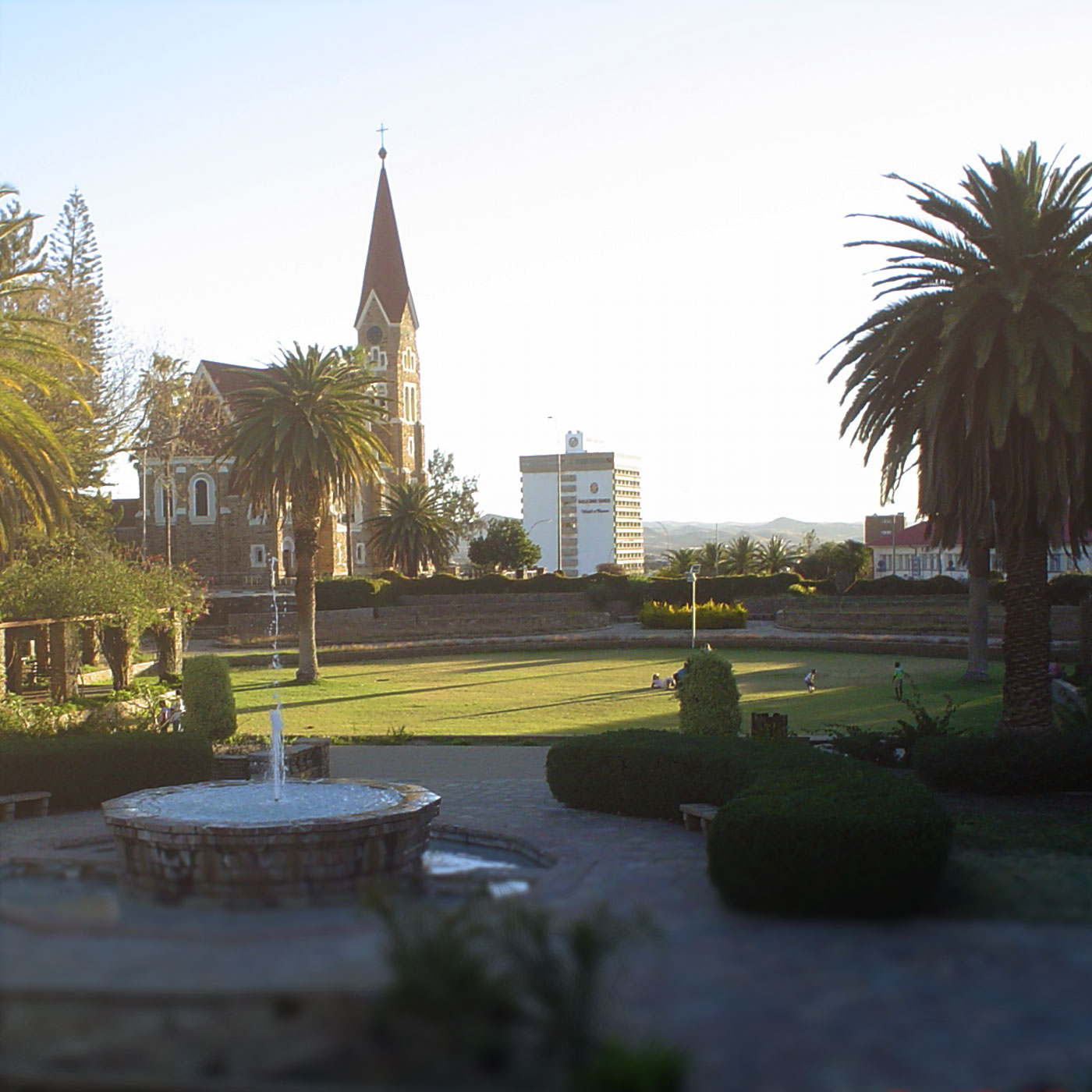 Windhoek
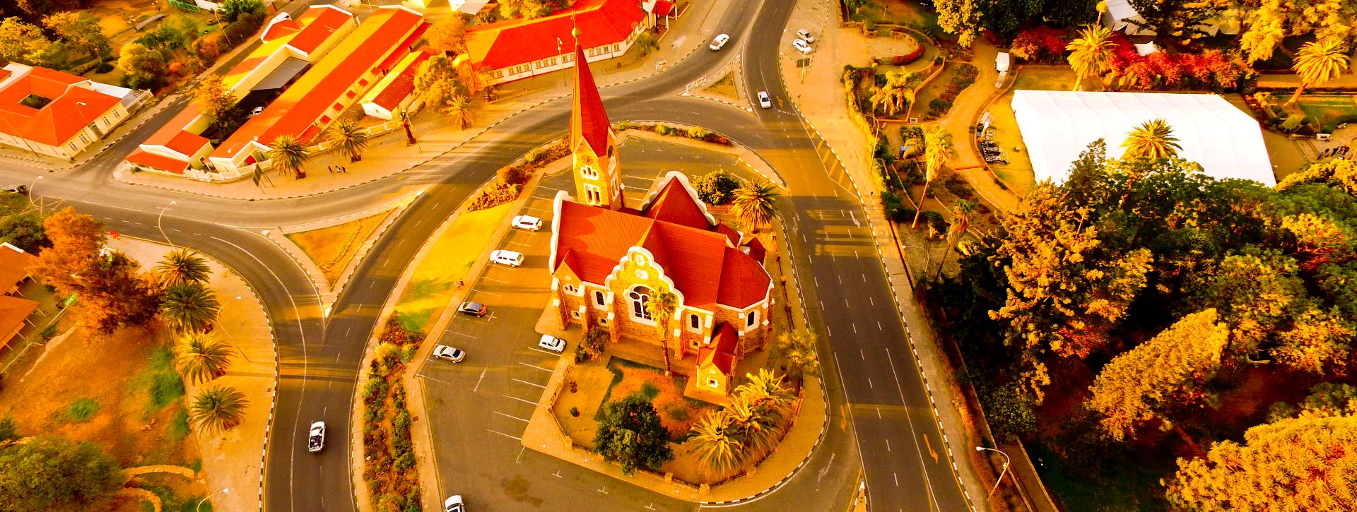
Windhoek, the capital of Namibia, was founded in the valley that was most likely the bowl of the prehistoric lake which was proven by the vegetation layer found during the construction of the Sanlam building. Typical bottom of the lake deposits were found at the depth of 15 metres.
Name. Nama called Windhoek Aigams (''Hot water'' because of hot springs of Windhoek) and Herero used name Otjimuise (''Place of smoke'') but it was Nama's chief Jonker Afrikaner who gave the town its present name - '' windy corner''. There are two versions for the origin of the name: windy place (only 28% calm days a year) and name of farm Winterhoek in the Cape where Afrikaner's family originally was from.
Windhoek climate makes it a very nice place to live in: mostly dry but with a quite reliable rainfall with an average of 360 mm a year. Another reason for establishing a settlement here were several fountains with good healthy water. German colonists found morass in the Windhoek's valley that they drained later. Windhoek's altitude is around 1650 m above sea level (railway station: 1642 m, International airport: 1680-1720 m, Ausspanplatz: 1650 m). The highest mountain around the capital is Grossherzog at 2330 m above sea level (south of Windhoek on the way to Rehoboth with TV tower on top). .
The settlement was founded in 1840 by Jonker Afrikaner who built his first house next to present South African High Commission (previously Berg hotel). For a long time Windhoek was a small settlement abandoned from time to time during Nama-Herero wars. 18 October 1890 Curt von Francois reached Windhoek with 32 men and commenced construction of Alte Feste establishing permanent German presence. Shortly after small fort was erected which forms part of Schwerinsburg castle now.
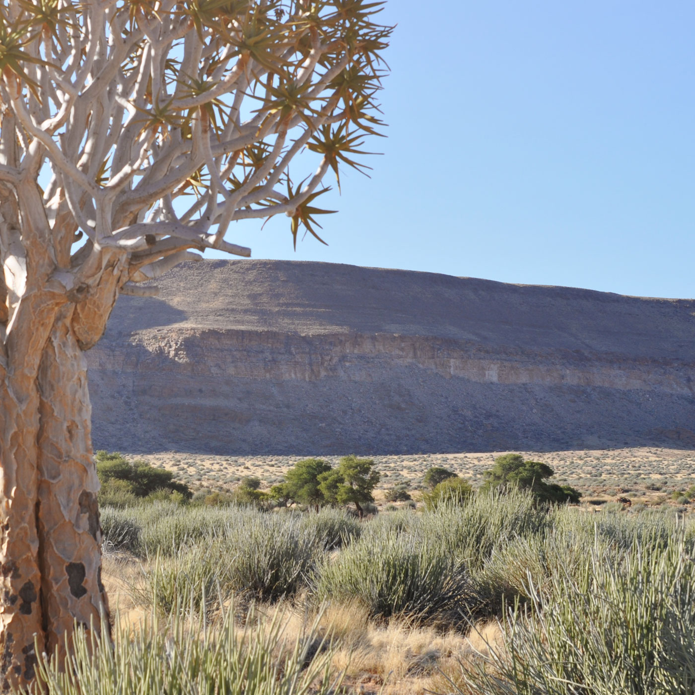 South/Fish River Canyon/Luderitz
The Fish River Canyon can be reached driving down south on B1, turning to B4 towards Luderitz, turning left on C12 and follow signs. The canyon, which is 161 kilometres long and up to 550 meters deep, forms part of the conservation area proclaimed a reserve in 1969.
Vegetation
The vegetation in the area has been classified as dwarf shrub savannah. The following trees occur: camel thorn, quiver tree (kokerboom), sweet thorn, buffalo thorn.
Ai-Ais
Ai-Ais: One of the most famous hot-spring resorts in the country. The name is a Khoekhoen word which can be translated as ''fire water''.
The area was discovered in 1850 by local Nama shepherd. During Nama uprising of 1903-07 the spring was used by German military forces as a base camp. They were also using this area in 1915 as a base to recover from wounds during invasion of South African troops.
Later the spring was leased to local entrepreneur and proclaimed a national monument in 1962. In 1969 it became a conservation area. The rest camp was opened in 1971 on 16 March. Severe floods in 1972, 1974 and 1988 caused camp to close down for some time.
The Fish River Canyon Conservation area was enlarged in 1987 by addition of state land west of canyon. Renovations to the Ai-Ais Camp were carried out in 1987-88 and again in 2009.
The main attraction of the park is Fish River Canyon Hike.
Due to extreme temperatures (up to 50 degrees in the summer!) open only during winter time.
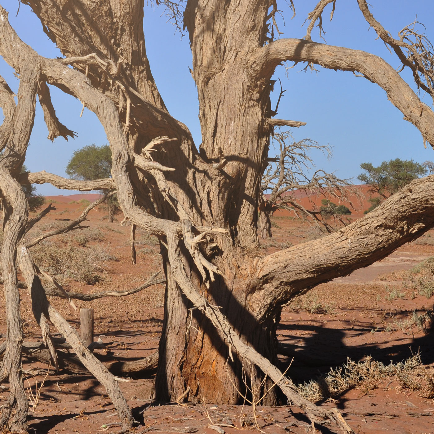 Namib/Sossusvlei
The Namib desert is one of the oldest deserts in the world that gives name to Namibia. The name is of Nama origin and means "vast enless space". Namib Desert stretches from South Africa to Angola along Atlantic coast of Namibia for around 2000 km and only about 100 km inland.
Sossusvlei (sometimes written Sossus Vlei) is a salt and clay pan surrounded by high red dunes, located in the southern part of the Namib Desert, in the Namib-Naukluft National Park of Namibia. The name "Sossusvlei" is often used in an extended meaning to refer to the surrounding area (including other neighbouring vleis such as Dead Vlei and other high dunes), which is one of the major visitor attractions of Namibia.
The name "Sossusvlei" is of mixed origin, and roughly means "dead end marsh". Vlei is the Afrikaans word for "marsh", while "sossus" is nama for "no return" or "dead end". Sossusvlei owes this name to the fact that it is an endorheic drainage basin (i.e., a drainage basin without outflows) for the ephemeral Tsauchab River.
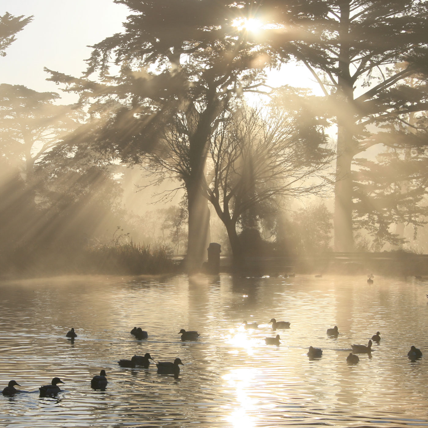 Waterberg Park
The Waterberg Plateau Park is located 280 km north of Windhoek. The mountain owes its name to the springs surfacing on its lower slopes, and the lush vegetation that grows here contrasts sharply with the thorn savannah of the surrounding plains.
The plateau itself is one of the most interesting geological sites in the country. Some features such as dinosaur tracks and petrified dunes make it almost a must stop for travellers on the way further north to Etosha Park. One of the reasons for establishing the park was to protect and resettling endangered species (black and white rhinoceros, buffalo, roan and sable antelopes). It is also not unusual to encounter leopards, rock dassie, klipspringer, tsessebe, wild dog, lesser bush babies and cheetahs. The only Cape vulture colony in Namibia lives in the Karakuwisa mountain on the western edge of the Waterberg Plateau.
The plateau rises more than 200 metres above the surrounding plains with a width of between 8 and 16 kilometres and a length of about 49 kilometres from south-west to north-east. The average altitude of the plateau is between 1650 and 1700 meters above sea level.
The area is also rich in a plant life. The total of approximately five hundred plants have been recorded in and around the park.
The geology of the plateau is as interesting as history of the area. The eroded sedimentary rock which forms it was deposited during Karoo Age about 220 to 180 million years ago.
A Rhenish mission station was established at the Waterberg in 1873, than later destroyed during Nama/Herero wars and rebuilt again in 1891. During 1904 in time of Herero Uprising the battle between Hereros and German Colonial forces took place at the Waterberg. As a reminder of this event a graveyard can be seen in the vicinity of the camp.
The rest camp offers comfortable accommodation in family nad bush chalets. There is a petrol station and a shop at the camp as well as a restaurant in old police station building. Camping sites are also available.
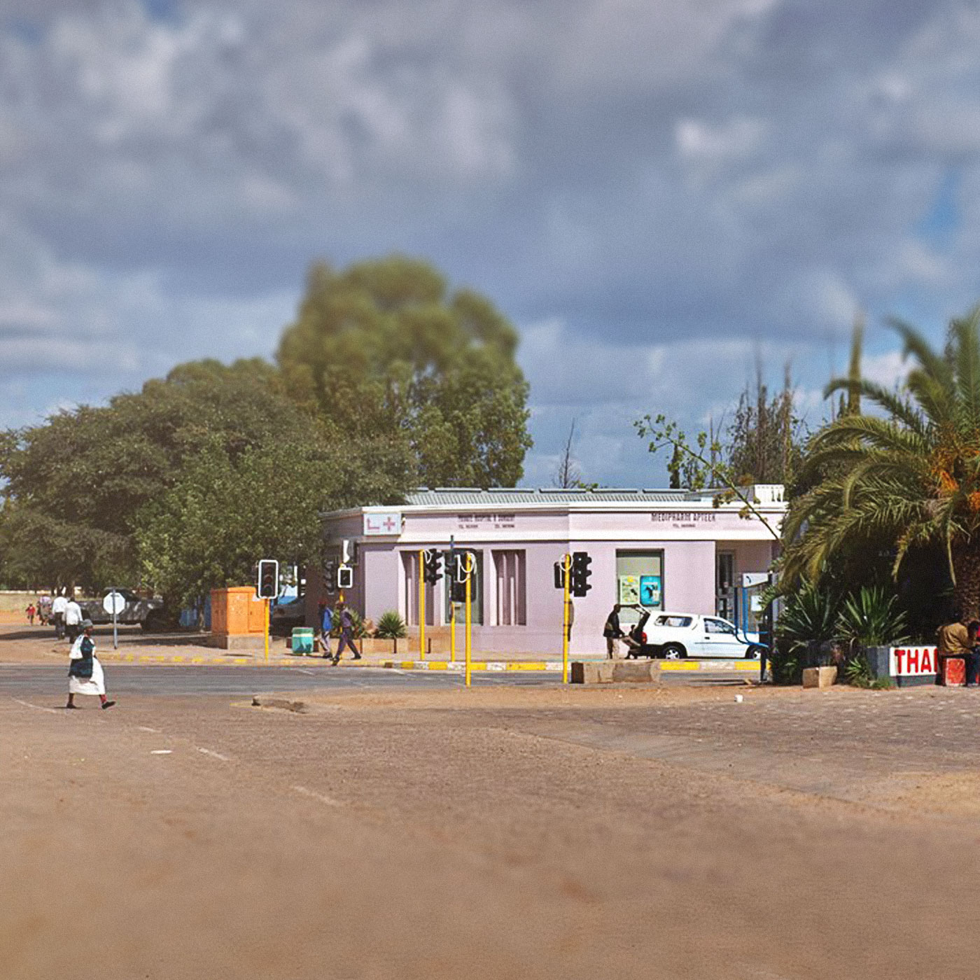 East/Botswana
The eastern Namibia is mostly cattle farming area and Gobabis, the capital of Omaheke Region.
Gobabis is a town in eastern Namibia. It is the regional capital of the Omaheke Region, and the district capital of the Gobabis electoral constituency. Gobabis is situated 200 km (120 mi) down the B6 motorway from Windhoek to Botswana. The town is 110 km (68 mi) from the Buitepos border post with Botswana, and serves as an important link to South Africa on the tarred Trans-Kalahari Highway. Gobabis is in the heart of the cattle farming area. In fact Gobabis is so proud of its cattle farming that a statue of a large Brahman bull with the inscription "Cattle Country" greets visitors to the town. Gobabis borders the Kalahari Desert, and is traditionally in the land of the Herero people.
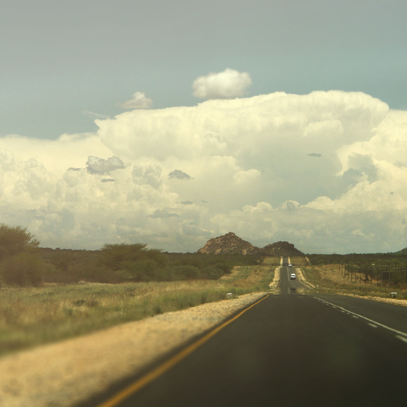 Central/Khomas Hochland
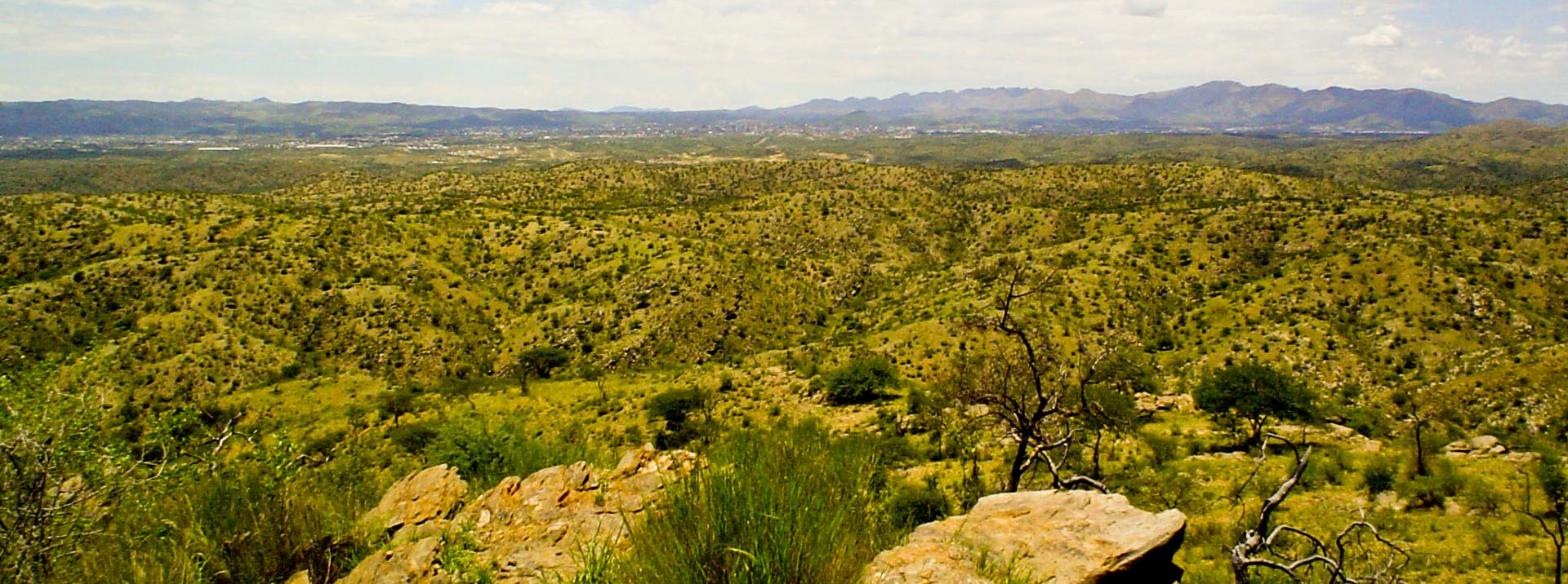
Khomas Hochland is a part of interior plateau of central Namibia. It elevated from 1700 m to 2000 m above sea level. From Windhoek several routes lead to the Namib Desert: Spreetshoogte, Remhoogte and Gamsberg passes. At least five hours must be set aside for travelling any of these routes to reach Sesriem. Attractions include Daan Viljoen Park, Von Bach Resort, Herero chiefs graves in small town of Okahandja (and its annual Herero festival), Gross Barmen Resort, historial towns - Omaruru and Karibib. Erongo Mountains, that gave name to Erongo Region, boasts famous Spitzkoppe Mountain.
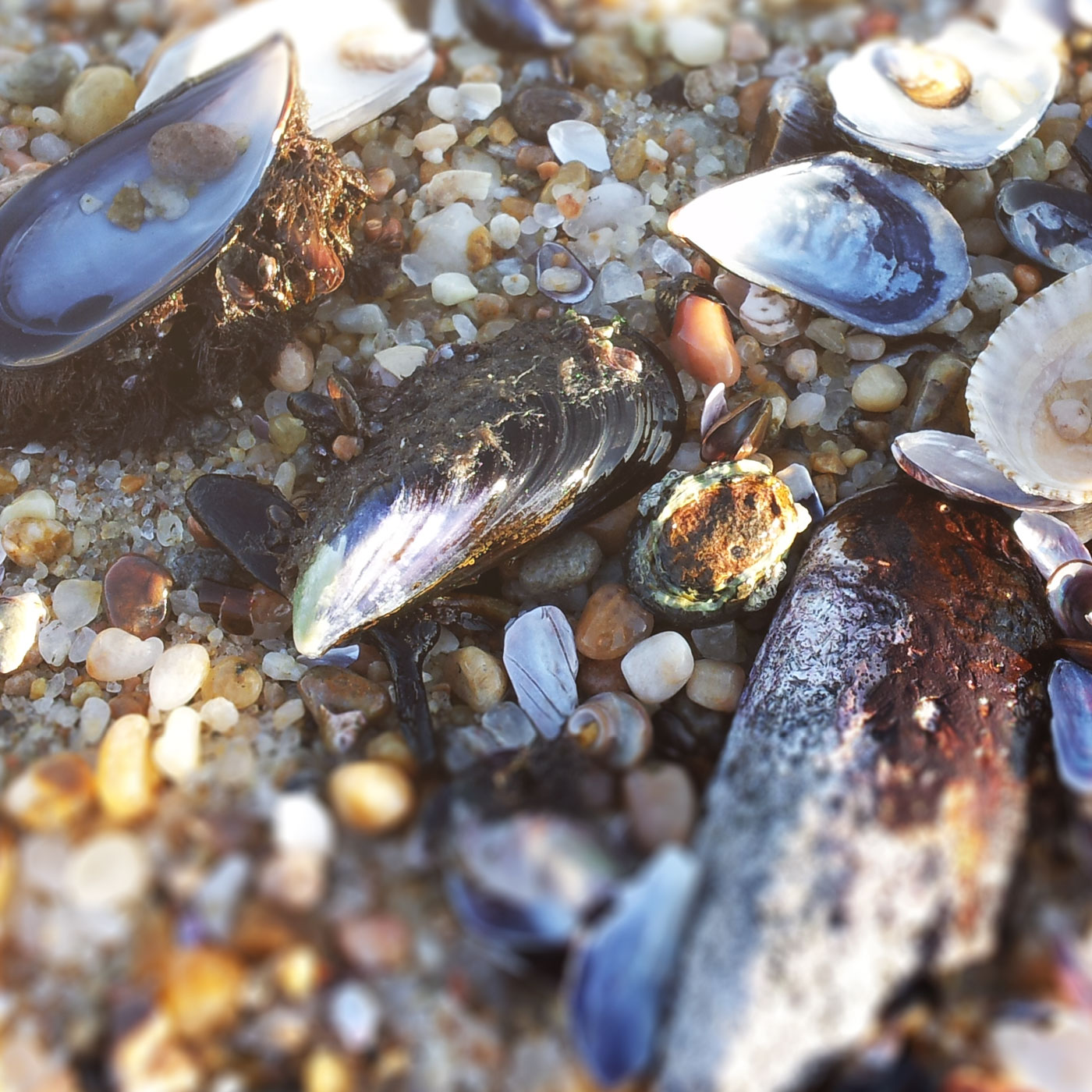 Swakopmund/Atlantic Coast
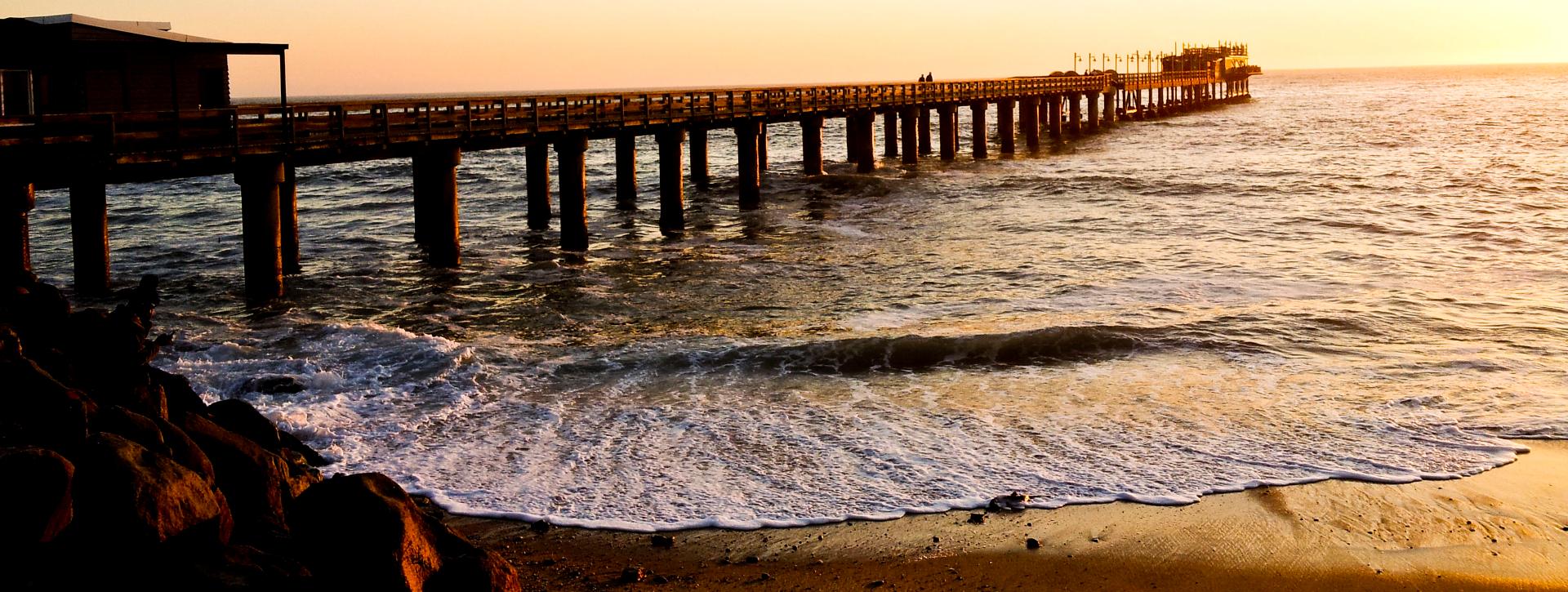
Swakopmund, coastal resort town in Namibia, was founded two years later than Windhoek, in 1892, by Captain Curt von Francois as the main harbour of German South West Africa. Increased traffic between Germany and its colony necessitated establishing of own port as Walvis Bay, located 33 kilometres south, was already in British possession.
The choice fell on Swakopmund where water could be found and because other sites checked (including Cape Cross) were unsuitable.
Name
The majority of towns and villages in Namibia have grown out of indigenous settlements and very often were located close to sources of water. Names of places given by original inhabitants were very descriptive and in many cases those names were retained by European settles who sometimes simplified pronunciations of the names. Nama word ''Tsoakhaub'' can be translated as ''excrement opening'' which was offensive but accurate description of the waters of Swakop River at the time of coming down in floods carrying masses of mud, sand, pieces of vegetation and animal corpses. The masses of dirty and muddy water were emptied into the ocean and the indigenous name described it very well.
The Nama name was changed to ''Swachaub'' and with proclamation of Swakopmund as independent district in 1896 the present way of writing came into use. Present day Swakopmund offers wide variety of tourism activities that include quad bike tours, dolphin cruises, scenic flights and fishing.
Walvis Bay
Walvis Bay is second largest town in Namibia, after Windhoek, with population of around 80 000. The town is located 30 km south of Swakopmund and the only deep water harbour in Namibia. Walvis Bay became part of Namibia only in 1994, four years after country achieved its independence.
Further north along the coast is Skeleton Coast National Park, renowned for its fishing and remoteness. The park covers over 1.6 million hectares and divided into two sections: southern, between Ugab and Hoanib rivers and nothern, between Hpanib and Kunene rivers. Northern section is accessible by means of fly-in safaris only. The park was established in 1971.
 LodgesNamibia offers all accommodation options: from budget/backpackers to five star hotels/lodges
Lodges
 SafarisNamibia offers all accommodation options: from budget/backpackers to five star hotels/lodges
Safaris
 Self-drive toursNamibia offers all accommodation options: from budget/backpackers to five star hotels/lodges
Self-drive tours
